
23/05/2026 – 25/05/2026 Cascade Trailhead – Cascade Trail – Thredbo River – Bobs Ridge – Cascade Creek – Cascade Hut – Cascade Creek – Bobs Ridge – Thredbo River – Teddys Hut – Thredbo River – Cascade Trailhead
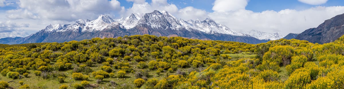
Kosciuszko National Park, NSW
Ngarigo Country (Ngarigo people)
Distance: 35.1km Total Ascent: 1765m Total Descent: 1765m
Time: 15 hours
Participant: Stephen Davies (Report, Photos)
With winter and my 70th birthday fast approaching, I wanted to get out for an overnight walk. This would also give me the chance to field test some new gear.
My wife Sue and I drove down to base ourselves at our daughter’s place in Jindabyne. Christianing our brand new Kia EV3 Air Long Range to do so. It is awesome to drive. Despite having the range to do Wollongong to Jindabyne, we stopped in Cooma to try out the fast charging. After failing to get the NRMA system to work on our vehicle, we moved on and had success at the 10 bay Tesla charging station.
![]()


