
Tuesday 11/10/2022 Bajos del Toro (Airbnb) – Farm – Forest – Rio Toro
Cabana Armonia, Provincia de Alajuela
Costa Rica
Participants: Stephen Davies (Photos, Report), Sue Davies, Cal Stewart, Kerrie Stewart
Our first hike for the trip was straight out of the door from our remote Airbnb, Bajos del Toro. This was an afternoon stroll through the adjacent farmland following the farmland out towards the property boundary which adjoins a forest.
Max elevation: 1394 m
Total climbing: 156 m
Total descent: -157 m
Average speed: 4.48 km/h
Total time: 01:53:37
I found it somewhat embarrassing to be staying in this large, stylish, well-appointed log cabin whilst the farmers next door were crowded into their tiny dwelling 100m away. We had passed them and said hi to them on our way in whilst they were hard at work tending to their herd of cattle.
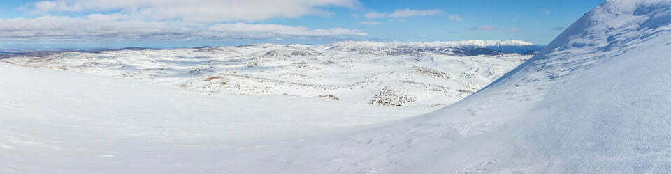
There were good views of forest-covered hills as we walked along their farm road. As it was late in the afternoon the clouds were continuing to build and had started descending down the hillsides obscuring their peaks.

Views along the farm trail
As Cal and I were busy taking photos, Kerrie and Sue walked ahead. Reaching the property boundary they turned around and headed back to our “cabin”. As Cal and I reached the property fence I noticed a hint of a trail into the forest ahead, so we pulled the electric fence off its post hitch and headed into the forest. The trail was wider than it had seemed when first sighted it and meandered further into the forest than we expected. We followed it until it started to descend and heavy rain arrived. How appropriate, our first Costa Rican rainforest and it’s raining! It did take a little while for the rain to reach us as the forest canopy proved some good, if only temporary shelter.
There was a completely different atmosphere on the way back as the clouds had by now descended to our level to create some very atmospheric views. As a few drops of water did not overly concern us we continued with some photo taking and accepted some water on our cameras and lens. Cal paid a price for doing so as his Canon EOS R started behaving erratically and became unusable for the next week, only time will tell how much damage was done.
We arrived back at Bajos del Toro wet and very happy that we had been able to get out and stretch our legs with no other gringos around.
Later when reviewing our hike on a map we noted we had turned back just short of Rio Toro.
Clickable icons on a world map which open the related trip report
A detailed, searchable trip list with links to reports, photo galleries and other content
![]()