
Friday 5/02/2016 Wanaka Mount Aspiring Road – Roys Peak summit return
Wanaka, NEW ZEALAND
Participants: Stephen Davies (Photos), Sue Davies (Report)
As we were due to head out on a multi day walk (rated as “hard”) the next day we wanted a day walk that would stretch our legs without wearing them out. We had underestimated Roy’s Peak.
Max elevation: 1583 m
Total climbing: 1317 m
Total descent: -1285 m
Average speed: 3.59 km/h
Total time: 06:59:45
Roys Peak track starts just out of Wanaka, where there is a small car park. It was a clear pleasant morning. The initial section of the walk passes through farm paddocks and is closed during lambing season. An honesty box at the track head suggests walkers make a small donation to cross this private land.

Sue on the way up

Mount Aspiring and Matukituki River

The long and winding road to Roys Peak

Lake Wanaka and beyond
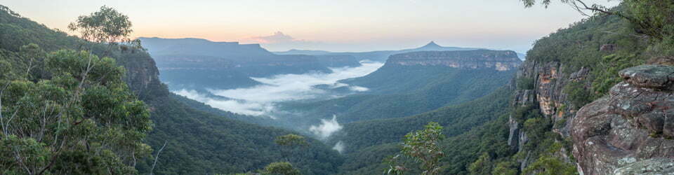
The climb was unrelenting but we were rewarded with excellent views of the nearby lakes. As we climbed higher and higher the views kept improving until we could easily see the nearby mountain ranges and glaciers within Mount Aspiring national park. Common sense told us not to go to the top as it was a 1300 metre vertical climb for the day and our “training” legs would not thank us tomorrow. However, the temptation of more views was too great and we pushed on right to the top. It ended up being a full day walk and our legs were a little sore the next day but we thoroughly enjoyed the day and the incredible views this walk has to offer.
Clickable icons on a world map which open the related trip report
A detailed, searchable trip list with links to reports, photo galleries and other content
![]()