
Friday 23/10/2020 Munghorn Gap – Castle Rocks
Munghorn Gap Nature Reserve, NSW
Kamilaroi country
Participants: Stephen Davies (Photos), Sue Davies (Report)
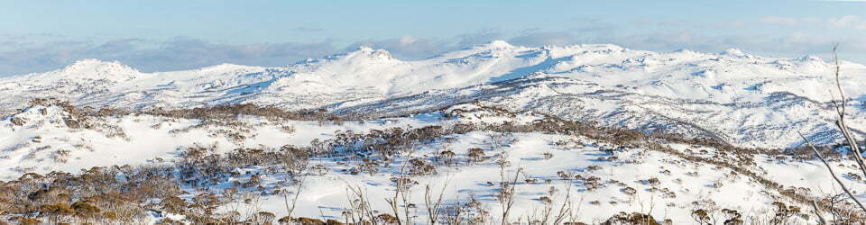
We had not heard much about this walk but were intrigued to discover what might warrant being called Cattle Rocks. From the Castle Rocks Car Park, just past Munghorn Gap, the trail follows a smooth, wide, almost flat fire trail which weaves very gently through a mix of eucalypt forest and native pine bushland. Along the way, there is a lot of “Tree Art” to admire, in the form of impressive tree barks on a range of different species interspersed with a few grass trees.
Max elevation: 715 m
Total climbing: 225 m
Total descent: -213 m
Average speed: 4.71 km/h
Total time: 02:17:58

Castle Rocks Trail
About a kilometre before Castle Rocks the route turns to the south. Along this section, you are off the road and onto a walking track which ends with a short climb on sandstone to the start of a ridge which falls away to reveal some dramatically different scenery. You are now both on and looking out towards Castle Rocks, a series of colourful, layered and eroded sandstone pagodas. Over the forest canopy and beyond the pagodas are distant views of farmland.
Once at the pagodas, we took the opportunity to walk and clamber over a number of them. As each presents a different vantage point of its neighbours and was well worth the time and effort.
We returned along the same route, having taken in the attractions along the way our return was a little faster.
Clickable icons on a world map which open the related trip report
A detailed, searchable trip list with links to reports, photo galleries and other content
NSW National Parks signage at the Castle Rocks Walking Track carpark states
Goulburn River National Park
“Goulburn River National Park is an important conservation reserve (74,000 hectares) centred on the winding, 90km long river gorge and surrounding plateaus. The rocky landscape reveals all the spectacular features of weathered sandstone terrain, undulating ridge-tops and abrupt gorges edged with ochre-coloured cliffs, caves, platforms, pinnacles and ‘pagodas’, many of which can be seen here at The Drip.
In places, 15 million year old basalt lava flows add ‘another layer” of geology and richer soils.
The park straddles the transition from wetter coastal districts to the drier inland. Plants and animals are also a mix, with many at the limits of their range – such as Rock Warblers from the east and Blakely’s Red Gum from the west.” NSW National Parks
NSW National Parks signage at the Castle Rocks Walking Track carpark states
“An easy 8km return walk (grade 2) off the Mudgee-Wollar road (2km from Moolarben day use area) leads to a complex of sandstone ‘pagoda’ rocks with sweeping views.
Drive south along Wollar Road to Munghorn Gap. Walk along Castle Rocks Trail to Castle Rocks.” NSW National Parks
![]()