
Monday 7/03/2022 Childowla Trail – Barrenjack Trail – Barrenjack Walk – Barren Jack Geodetic Station
Burrinjuck Nature Reserve, NSW
Ngunawal Country
Participants: Stephen Davies (Photos, Report), Sue Davies, Geri Louis, Dave Whitelaw
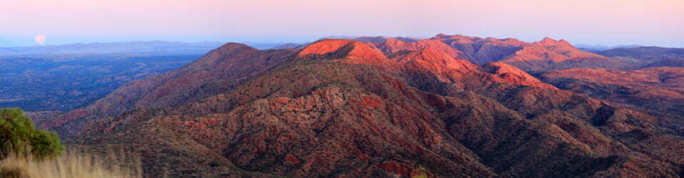
Amongst road cycles, running, tennis games, frisbee golf, bird spotting and kayaking activities four of our mid-week party staying at Burrinjuck managed a walk up to Barrenjack Mountain. We drove up to and parked before the locked gate at the end of Childowla Trail, with the Link Trail (Hume and Hovell track) starting on the other side of the road.
On Childowla Trail we were surprised to encounter a National Parks vehicle heading out to do some work. For a good length of this section we disturbed a multitude of butterflies, often dozens at a time, that fluttered around as they were disturbed. It was a pity that they were too small to adequately capture a picture to do the scene justice. We also noted several different bird species, mostly from their song.
Max elevation: 967 m
Total climbing: 579 m
Total descent: -579 m
Average speed: 3.26 km/h
Total time: 02:57:46
After turning off and walking past another locked gate at the bottom of the Barrenjack Trail the track becomes noticeably steeper. Being a gravel surface one needs to take care with their footing. This walk is well forested, one of the highlights being the number of beautiful trackside tree trunks. We were part the way along this section when Dave caught up to us. He had slept in and we had been unaware he had wanted to join us. He biked up from our cabin and commenced walking at the start of the Barrenjack Trail.
As the trail is about to turn to the south, a parks sign indicates the walking track to “Barren Jack Mountain” 300m away. From here to the top, keep an eye out for the aluminium National Parks pegs marking the route, as at one point, there was a red reflector on a tree that headed in the wrong direction.

Dave and Sue with logbook
Once on top, you will find the decaying Barren Jack geodetic station and a logbook to record your achievement. There were only three entries since Dave was last up here almost twelve months ago. There are limited views from the top through the multitude of trees.
We returned the same way we came. As expected, the descent of the steep gravelly sections was more challenging than the ascent, as occasionally, all those small stones together conspire to act as ball bearings and send you sliding. Whilst most of us managed to stay upright, I did observe one nasty looking bum plant!
This is a great morning workout, leaving plenty of time for some fresh scones (thanks Trish), an afternoon nap and a of game of tennis.
Clickable icons on a world map which open the related trip report
A detailed, searchable trip list with links to reports, photo galleries and other content
![]()