
24/05/2015 – 25/05/2015 Long Gully – Byangee Mountain
Morton National Park, NSW
Yuin country
Distance: 12km Total Ascent: 830m Total Descent: 830m Time: 8 hours
Participants: Stephen Davies (Photos), Sue Davies (Report)
This 12km bushwalk begins by crossing the Yadboro River before following Byangee Trail up to the cliff-line below The Castle. From here one follows a rough track eastward along the cliff base to and across Castle Gap, before continuing around the cliff base on the northern side of Byangee Mountain. Further on a rock cairn can be found at the bottom of the ascent route which involves a tight squeeze a one point and some scrambling, don’t put all your faith in the old ropes found in a couple of steep sections!
Along the way check out “The Cathedral” and the natural rock arch concealed just around the corner on the north side immediately before Castle Gap. The 360 degree views from the top Byangee Mountain amongst the best in New South Wales.
Day 1: Sunday 24/05/2015 Long Gully – Byangee Mountain
Max elevation: 526 m
Total climbing: 636 m
Total descent: -203 m
Average speed: 2.70 km/h
Total time: 04:07:54
With the weather forecast favourable for the next couple of days we headed off soon after 8:00am on a clear morning for an overnight camping trip to the top of Byangee Mountain.
A good drive down saw us arrive at Long Gully, ready to go before 11:00am. Our packs felt quite heavy as we had decide on fresh food for this trip (Sue was carrying all of it). Steve was loaded with more camera gear than most people own in a lifetime.
Starting out crossing the Yadboro River suggested there would be no swimming on this trip, at least it was only our feet getting wet and cold.

Sue crossing Yadboro River
The route by now has become very familiar to us, with multiple trips over the last few years. Making good progress up Byangee Trail and along the rough track following the edge of the lower cliffline below The Castle, we found ourselves enjoying lunch at Castle Gap next to the natural arch. From here Steve photographed a pair of red tailed black cockatoos who were feeding in the trees nearby as well as some panoramas from the arch.
With our large, overloaded packs we found the last section of scrambling up the gully and climbing through the chimney quite difficult. Once on top of Byangee Mountain we were pleased to find several shallow sandstone depressions filled with water. (It should be noted that this is far from guaranteed, so check for recent decent rainfalls in the area). Just so you know, Steve has previously unsuccessfully searched for water along the gully just below the track when there has been limited water in the depressions on top.
Although this was a relatively short walk day we didn’t have very long to enjoy sitting in our Helinox ground chairs in the sun as it disappeared behind The Castle at 3:37pm. There was just enough light left to collect some more water, a little firewood and for Steve to set up his camera and tripod for some evening shots.
Sue was very proud of her fire building efforts. Stuart would have been proud of his apprentice.
It was a cold clear night.
Night time-lapse over The Castle
Day 2: Monday 25/05/2015 Byangee Mountain – Long Gully
Max elevation: 526 m
Total climbing: 198 m
Total descent: -638 m
Average speed: 2.92 km/h
Total time: 03:44:04
By the time Sue woke Steve was yelling for her to get out of the tent so as not to miss the best part of a beautiful sunrise with 360 degree views, including both The Castle and Pigeon House Mountain. The birthday boy was in his element and he spent large parts of the day busily snapping away with his camera.

Pigeon House Mountain from Byangee Mountain
Once finished at camp we had a leisurely descent from Byangee Mountain and paused to enjoy the autumn sunshine at The Arch. Steve also took some photos at the large rock slab cave known as “The Cathedral” as we sidled around the base of The Castle.

Cathedral Cave at the base of The Castle
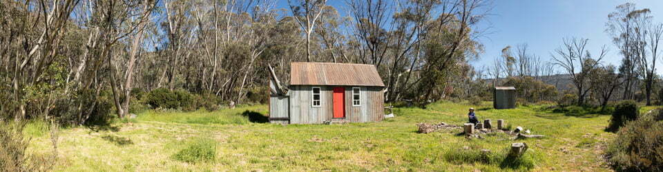
We arrived back at Long Gully in plenty of time for a dip in the river and afternoon tea in the sunshine. It was a still, clear evening and the warmth of the campfire was appreciated. We were not alone! The resident possum was very comfortable checking out our dinner. When darkness arrived the bush seemed very alive. We didn’t get our supplies in car quickly enough as a mouse made itself at home in our rubbish bag, having a healthy feed for itself. Next day we were still not sure whether we were relocating it as we drove away.
Steve was happy with his star trail results, the glow of Canberra 100km away being evident throughout the night.
Clickable icons on a world map which open the related trip report
A detailed, searchable trip list with links to reports, photo galleries and other content
![]()