
Friday 5/06/2020 Wattle Creek Car Park – Slotts Way – Nattai River – Mcarthurs Flat – Emmetts Flat – Troy Creek – Starlight Trail
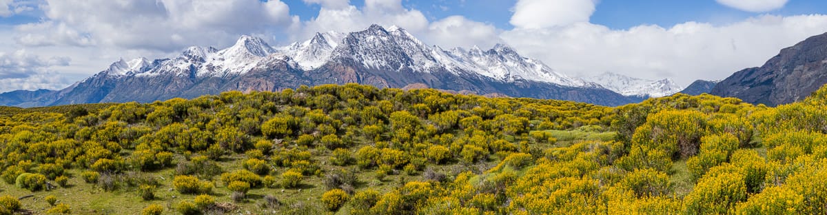
Nattai National Park, NSW
Gundungurra country
Participants: Melissa Ardern (Leader), David Brinson, Rod Dale, Stephen Davies (Photos), Sue Davies (Report), Thomas Korber, Liz Paslawsky
This scenic loop down into the Nattai River valley is accessed from the car park at the end of Wattle Creek road near the small town of Hilltop. The final ten minutes of the drive are on dirt. The road is suitable for two wheel drive vehicles.
Max elevation: 658 m
Total climbing: 1498 m
Total descent: -1490 m
Average speed: 4.21 km/h
Total time: 07:23:56
We headed along the fire trail at a brisk pace which was fine considering the chilly air. Much of the area had been burnt in the recent summer bushfires so we were keen to see how the environment was recovering.
We were soon descending via Slotts Way which was steep at times. Our progress was hampered by many burnt and fallen trees crossing the path. It was not advisable to rely on anything to hold onto during the descent, with many of the tree branches and rocks being somewhat unstable.
As it was a clear crisp winter’s morning we enjoyed stunning views of the surrounding hills prior to dropping into the valley. Whilst the bushfires were clearly devastating to the vegetation it was heartening to see the vibrant regrowth. It’s quite amazing how the bush bounces back. We also saw animal tracks and fresh wombat diggings along the way, so life here continues on.

Lunch by the Nattai River at Mcarthurs Flat
We enjoyed lunch by the river at McArthurs Flat, a picturesque spot that had previously been used for grazing. We crossed over to Troys Creek, observing the remnants of an old farm house along it’s banks. Here we refilled our water bottles for the long climb out.
The climb out was warm, not one I would want to do in summer! Again there were many trees across the trail. The area looked very different than on previous trips before the fires as it is now virtually devoid of the usual vegetation.
We made a diversion on the way back for Tom and Mel to pick up the National Parks wildlife cameras that they had left there three months earlier. It was at a lovely spot off the track by a stream and waterfall. Later analysis of the photos revealed a few native species returning and no feral animals which was a fantastic result.

Rockwarbler (Origma solitairia)

Wallaby

Possum

Wallaby
We continued the climb out back to the fire trail arriving at our cars before 4:00pm. It was a wonderful day walk and great to get back out into the bush and enjoy it with good company.
Clickable icons on a world map which open the related trip report
A detailed, searchable trip list with links to reports, photo galleries and other content
![]()